TatukGIS Editor 5.30.1.1893

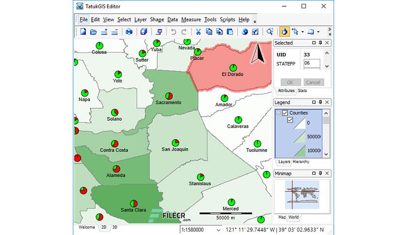
Free Download TatukGIS Editor 5 full version standalone offline installer for Windows it is a professional desktop GIS mapping and data editing application with built-in scripting environment making the product fully customizable.

You can also FREE download VentSim Premium Design

Overview of TatukGIS Editor 5 Benefits

Except for certain features omitted from the free Viewer, the Editor and Viewer are the same product and share the same documentation.

The TatukGIS Editor is a professional, general purpose desktop GIS data editor and mapping application with built-in scripting environment for customization and feature extensions.

Overview of TatukGIS Editor 5 Features

  • Render map geometry, styles, labels, symbols, etc. based on scale
  • Built-in line style editor providing unlimited line style possibilities
  • Unicode support for all foreign language characters
  • CGM and TrueType symbols for points, lines, and fills
  • Standard printing from HTML image with limited resolution
  • Template based printing with ability to add new print layouts
  • EPSG codes and OpenGIS WKT definitions
  • Reprojection of vector/raster layers, on-the-fly
  • Rectify & georeference vector/image layers to a coordinate system
  • Rectified output generated on-the-fly and instantaneously visible
  • Geometry creation, editing, and saving
  • Attribute creation, editing, and saving
  • Pixel layer manipulation (brightness, transparency, histograms, etc.)
  • MultiPatch 3D Geometry Type
  • Digital Terrain Model (DTM) presentation
  • Vector layer storage in database
  • Raster layer storage in database
  • Fully scriptable (Pascal & Basic) IDE (exposing the full TatukGIS Developer

Technical Details and System Requirements

  • Supported OS: Windows 10 / Windows 8.1 /Windows 7
  • Processor: Multi core Intel Series or above, Xeon or AMD equivalent
  • RAM: 4GB (8GB or more recommended)
  • Free Hard Disk Space: 4GB or more recommended

Previous version

date
Additional info
downloads
File Name:TatukGIS Editor 5.23.0.1654
Version:5.23.0.1654

Comments

Leave a comment

Your email address will not be published. Required fields are marked *