Free Download Carlson SurveyGNSS for Windows PC. It is a reliable and precise tool for all post-processing applications and is tightly integrated into the Carlson field and office workflow. It is the solution for surveyors and positioning professionals looking to achieve centimeter accuracy when working on the edge of their RTK infrastructure, perform sub-centimeter positioning, and provide the highest quality assurance to their customers.
Overview of Carlson SurveyGNSS
It is a robust post-processing software designed to meet the needs of surveyors and positioning professionals who demand high accuracy in their work. This software offers a range of key features, making it an indispensable tool for achieving precise results in various scenarios.
Key Features of The Software
- High Accuracy in Challenging Environments: It allows users to achieve high-accuracy results even in areas with limited or no real-time corrections. This capability is invaluable for professionals working in remote or challenging terrains.
- Versatile Data Processing: The software can process static, kinematic, and "stop & go" raw data, making it suitable for various surveying applications.
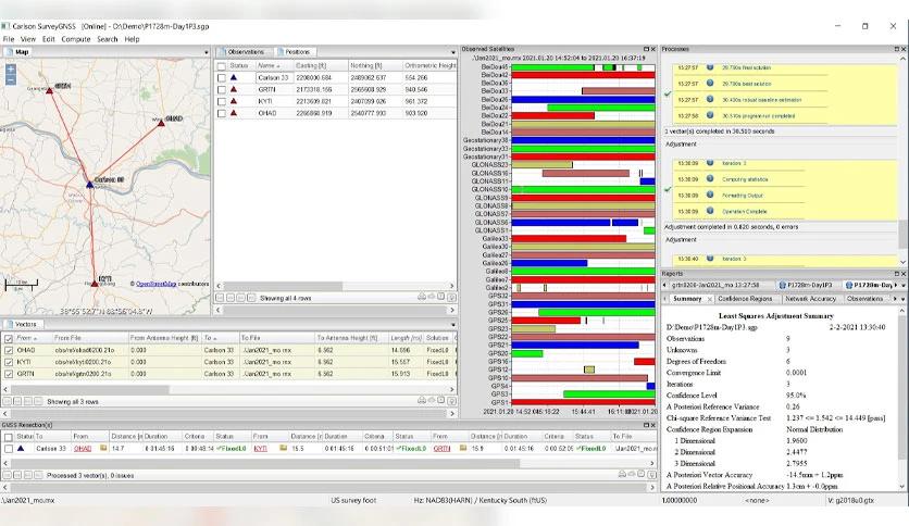
- Least Squares Adjustment: The software includes a least squares adjustment feature with statistical testing, ensuring the processed data meets the highest quality standards.
- Multi-Constellation Support: The software is optimized for processing data from all four major constellations, including GPS, GLONASS, Galileo, and BeiDou. This wide-ranging support enhances the reliability of your results.
- Indian Regional Navigation Satellite System (IRNSS) Compatibility: It can also process data from the Indian Regional Navigation Satellite System (IRNSS), making it a versatile choice for users in India.
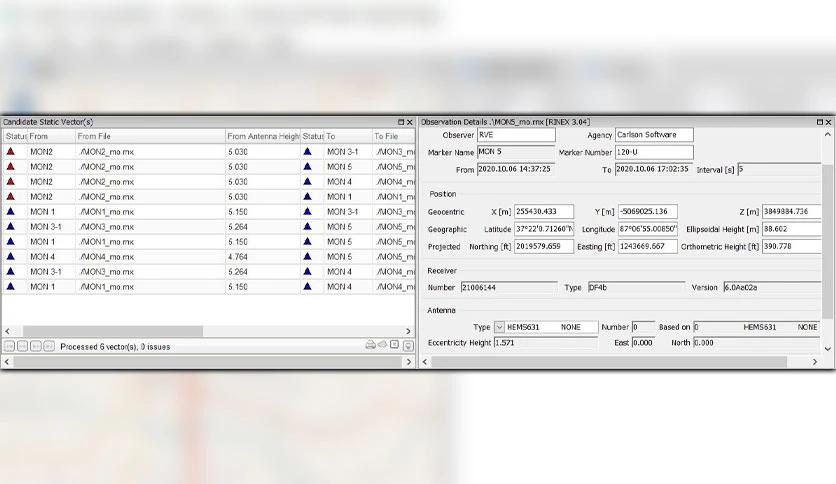
- Flexible Data Import: Users can import GNSS observations from any GNSS receiver in RINEX format and accept GNSS observations in various proprietary formats, ensuring compatibility with a wide range of equipment.
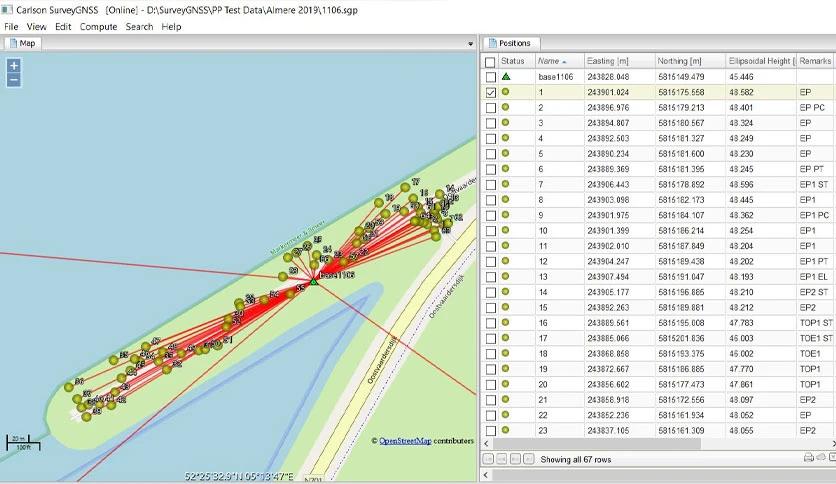
- Intuitive User Interface: The software features an intuitive user interface with tables, maps, and graphs, making it easy for users to visualize and analyze their data effectively.
- Enhanced GIS Data Quality: The software helps improve the quality of single-frequency GIS data, ensuring that your mapping and geospatial information is accurate and reliable.
- Seamless Integration: It integrates with Carlson SurvCE, SurvPC, and Carlson office software, streamlining your workflow and enhancing efficiency.
- Quality Control: Users can perform quality control of GNSS data before exporting it to Survey or GIS software, ensuring the integrity of the final results.
System Requirements
- Operating System: Windows 7 or higher
- Processor: Intel Core i5 or equivalent
- RAM: 8 GB or more
- Hard Disk Space: 20 GB of free space
- Graphics: DirectX 11 compatible GPU
- Display: 1920x1080 resolution recommended
- Internet Connection: Required for software updates and license activation
Conclusion
Carlson SurveyGNSS is a powerful post-processing software that caters to the needs of surveyors and positioning professionals who demand accuracy and reliability in their work. Its versatile features, multi-constellation support, and seamless integration into the Carlson workflow make it essential for achieving centimeter-level precision in various surveying applications.

Leave a comment
Your email address will not be published. Required fields are marked *