Cadcorp SIS Desktop Download (Latest 2026) - FileCR
Free download Cadcorp SIS Desktop 9.1.1610 Latest full version - Create, manage, and analyze geographical information.
Free download Cadcorp SIS Desktop 9.1.1610 Latest full version - Create, manage, and analyze geographical information.

Free download Cadcorp SIS Desktop for Windows PC. It is a versatile geographic information system (GIS) software that empowers users to create, manage, and analyze geographical information. Offering a wide array of features, including advanced spatial analysis, Ordnance Survey® data support, 3D analysis, and compatibility with over 300 different formats of spatial data, Cadcorp SIS Desktop stands out as a comprehensive solution for GIS needs.
Navigating through Cadcorp SIS Desktop feels like second nature, thanks to its resemblance to popular Microsoft Office products. The software's "Backstage View" offers quick access to essential functions, while the "Recent Maps" list ensures that your latest projects are just a click away. Moreover, SIS Desktop lets you pin frequently used maps and projects for easy retrieval. The drag-and-drop feature simplifies adding base mapping, overlays, and project files, enhancing efficiency.
Cadcorp SIS Desktop empowers you to swiftly assemble and manage map data using an extensive array of built-in map management tools. You can create map items, such as points, line strings, and polygons, and customize their graphical representation. The software offers the flexibility to design thematic maps where items are styled or labeled based on their attributes or properties. With the interactive Print Wizard, you can effortlessly guide your way through standard printing steps, utilizing a wide range of predefined or custom print templates. Furthermore, Cadcorp SIS Desktop enables the creation of interactive Adobe PDF files, granting end-users control over layer visibility and complete access to feature properties.
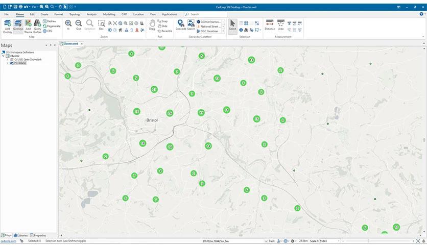
Unlock the power of advanced GIS capabilities with Cadcorp SIS Desktop. Perform intricate GIS data buffering operations, Thiessen polygon analysis, grid analysis, contour mapping, flow-line generation, clustering, and hotspot mapping—all within the software's intuitive interface. The creation of network topology facilitates efficient routing analysis, while powerful expressions enable you to analyze travel costs, creating time and distance maps. Cadcorp SIS Desktop's temporal control bar is valuable, allowing you to explore and export time-series data to video formats, providing dynamic visual insights.
Cadcorp SIS Desktop is a versatile and user-friendly solution for all your geographical information needs. With its intuitive interface, comprehensive mapping tools, and advanced GIS capabilities, this software enables you to easily create, analyze, and manage spatial data. Whether you're a professional GIS analyst or a novice user, Cadcorp SIS Desktop offers the tools and features to bring your geographical data to life.
Leave a comment
Your email address will not be published. Required fields are marked *