Free Download QGIS Desktop, the latest standalone offline installer for macOS. It offers a powerful platform for mapping and spatial data analysis.
Overview of QGIS Desktop for macOS
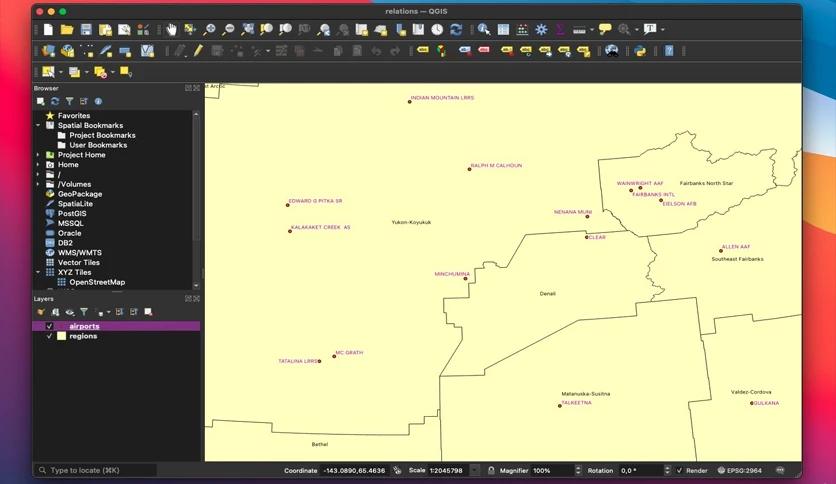
It stands as a premier open-source Geographic Information System (GIS) designed for users. This versatile platform caters to a broad spectrum of individuals, offering a user-friendly interface that accommodates beginners and seasoned GIS professionals.
Features of QGIS Desktop for macOS
- Intuitive User Interface: The user-friendly interface ensures a smooth experience for all skill levels. The interface is designed to be intuitive, enabling quick navigation and easy access to essential tools.
- Extensive Plugin Support: It boasts a rich ecosystem of plugins that enhance its functionality. These plugins cover various functionalities, from data visualization to advanced geospatial analysis, allowing users to tailor it to their needs.
- Spatial Data Processing Capabilities: It excels in spatial data processing, offering a wide range of data analysis and manipulation tools. It provides a comprehensive toolkit, from basic spatial queries to complex geoprocessing tasks.
- Compatibility with Various Data Formats: Whether you're working with shapefiles, GeoJSON, or other popular geospatial data formats, it supports a diverse range of data formats, ensuring flexibility in data integration.
- Print Composer for Map Layouts: It includes a powerful Print Composer tool, enabling users to create high-quality print-ready maps. This feature is crucial for professionals producing maps for presentations, reports, or publications.
- 3D Visualization: For those looking to add a third dimension to their maps, it offers 3D visualization capabilities. This feature allows users to create stunning three-dimensional representations of their spatial data.
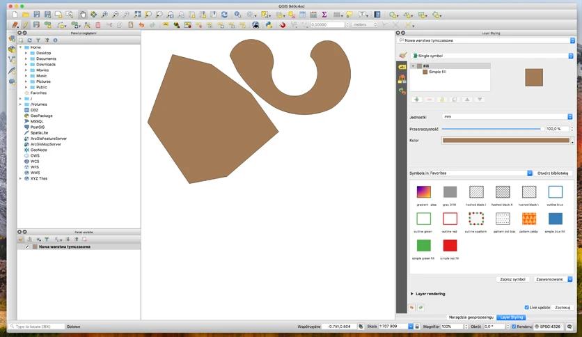
- Customization and Styling Options: It provides extensive customization options for map styling. Users can define symbology, colors, and labeling to create visually appealing and informative maps.
- Integration with Online Services: It seamlessly integrates with various online mapping services. This integration allows users to access base maps and other spatial data directly from online sources, enhancing the richness of their maps.
Technical Details and System Requirements
- macOS 10.13 (High Sierra) or later
- Processor: Intel or Apple Silicon
- RAM: 4 GB or higher
- Storage: 2 GB free disk space
FAQs
Q: Can I use it offline?
A: It allows users to work offline by storing data locally. However, some features, such as accessing online base maps, may require an internet connection.
Q: Can it handle large datasets?
A: Yes, it is equipped to handle large datasets efficiently. Its robust architecture and optimized algorithms enable users to process and analyze extensive spatial data, making it suitable for projects of varying scales.
Q: How frequently is it updated?
A: It follows a dynamic development cycle with regular updates. Users can benefit from new features, bug fixes, and improvements as the community actively contributes to the software's ongoing enhancement.
Conclusion
It provides a feature-rich and accessible GIS platform for users across various skill levels. Its open-source nature and supportive community make it a go-to for spatial data analysis and mapping. Whether you're a GIS professional, researcher, or enthusiast, it offers a versatile toolset to explore and visualize the world of geospatial data.

Leave a comment
Your email address will not be published. Required fields are marked *