PeakVisor - 3D Maps & Peaks ID 2.9.79 APK Download - FileCR
Free Download PeakVisor - 3D Maps & Peaks ID 2.9.79 Pro MOD Version Unlocked Ad-Free APK for Android. A reliable companion on any adventure.
Free Download PeakVisor - 3D Maps & Peaks ID 2.9.79 Pro MOD Version Unlocked Ad-Free APK for Android. A reliable companion on any adventure.

Free Download PeakVisor - 3D Maps & Peaks ID Pro MOD Version Unlocked Ad-Free APK for Android Phones and Tablets. It is a reliable companion on any adventure.
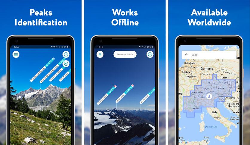
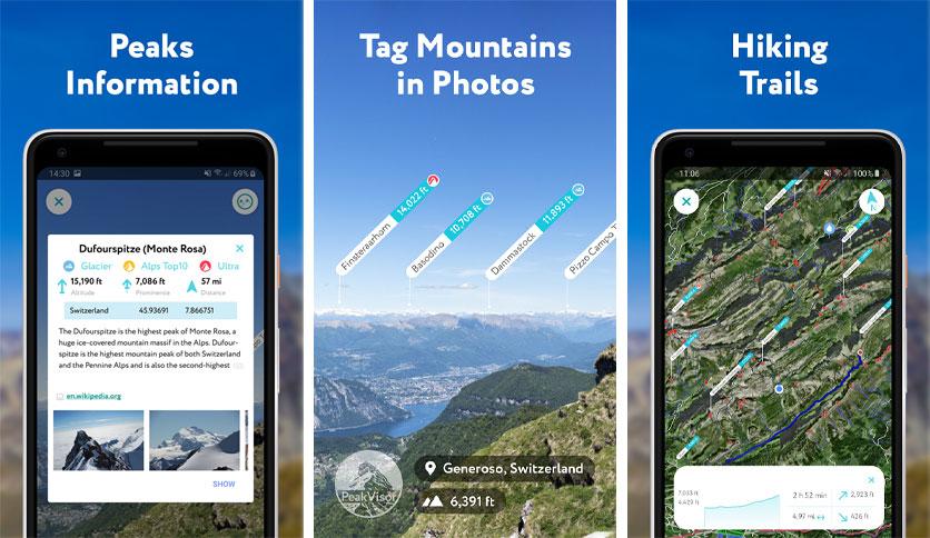
If you're an avid hiker or mountaineer or love exploring the great outdoors, you've probably heard of it. This app is a must-have for anyone who wants to explore mountains, valleys, and trails easily. It's a powerful tool that provides one convenient package with 3D maps, peak identification, and route planning capabilities. This article will examine the features, system requirements, and frequently asked questions about t.
Q: How accurate is PeakVisor's peak identification?
A: It uses a sophisticated algorithm to identify peaks based on their shape, location, and other factors. While the accuracy is generally very high, it may occasionally misidentify peaks due to poor lighting conditions or other factors.
Q: Can I use it without a network connection?
A: Yes, it works offline. Simply download the maps and other data you need before heading out.
Q: How do I plan a route with it?
A: To plan a route with it, use the app's route planning feature. To create a custom route, you can select waypoints, trailheads, and other landmarks. Once you've created the route, you can save it for later use.
It is an essential tool for anyone who loves exploring the great outdoors. Its powerful features, including 3D maps, peak identification, and route planning, make navigating easy even in remote areas. Plus, its offline mode makes it a reliable companion on any adventure.
Leave a comment
Your email address will not be published. Required fields are marked *